Hours, prices and access verified by the Fiordland Tours team — last checked 2026-09-21.
Fiordland National Park covers the south-western corner of New Zealand, and
the tours start from four places up to 300 km apart. Here is where Queenstown, Te Anau,
Manapouri and Milford Sound sit, how far apart they are, and where to meet for the
Fiordland National Park tours.
How the park fits together
Te Anau is the largest town and the gateway, on the shore of Lake Te Anau at the park's
eastern edge. Manapouri is 21 km from it, on Lake Manapouri. Milford Sound is 120 km
away, at the end of the Milford Road. Queenstown is outside the park altogether, 179 km
from Te Anau by DOC's figure.
The two fiords are reached in different ways. Milford Sound has the road, through the Homer
Tunnel. Doubtful Sound has none: you cross Lake Manapouri and ride over Wilmot Pass to Deep
Cove. Fourteen fiords cut into the park in all, from Milford Sound in the north to
Preservation Inlet in the south.
Where each tour starts
Where you meet
Town
What starts there
The Station, Shotover and Camp Streets
Queenstown
A small-group Milford coach day, with hotel pickups as well
Your hotel
Queenstown
The flights and most Milford coach days
88 Beach Street
Queenstown
The Doubtful Sound day from Queenstown
Central Te Anau accommodation
Te Anau
The Milford coach day with walks
1 Lakefront Drive
Te Anau
The Great Walks Bus for the track day
85 Lakefront Drive
Te Anau
The Doubtful Sound coach day
The historic wharf
Te Anau
The Faith cruises on Lake Te Anau
Fiordland Jet
Te Anau
The jet boat rides on the Waiau River
Pearl Harbour
Manapouri
The Doubtful Sound day and overnight cruises
Milford Sound Visitor Terminal
Milford Sound
The day cruises and the Fiordland Jewel overnight
Your booking names your own meeting point, so check it before you set off. In Te Anau the
meeting points are all in town, most of them on or near Lakefront Drive. At
Milford Sound, every cruise checks in inside the same terminal, at its own counter.
Distances and driving times
From
To
Distance and time
Queenstown
Te Anau
179 km, about 2 hours 20 minutes
Invercargill
Te Anau
150 km, about 2 hours
Te Anau
Manapouri
21 km, about 20 minutes
Te Anau
Mirror Lakes
About 56 km
Te Anau
Cascade Creek and Lake Gunn
About 78 km
Te Anau
The Chasm
About 109 km
Te Anau
Milford Sound
120 km, about 2 hours without stops
Queenstown
Milford Sound and back
600 km, 12 to 14 hours
Te Anau
Kepler Track car park
5 km
The distances along the Milford Road are measured from Te Anau, as DOC gives them. Mirror
Lakes is roughly halfway, and The Chasm is the last stop after the Homer Tunnel. The return
day from Queenstown is 600 km, which is why DOC suggests basing yourself in Te Anau.
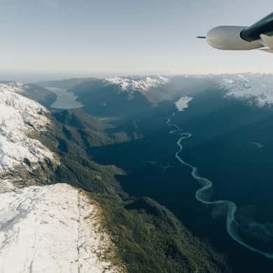
A braided river valley below snow slopes, seen past a plane's wing strut
Te Anau and Manapouri close up
Most of the Te Anau meeting points sit along the lake front. The historic wharf, where the
yacht Faith sails from, is behind the visitor centre at the end of the main street. Fiordland
Jet is in central Te Anau, with free parking behind its office, and a bus takes you from there
to the river. The Doubtful Sound coach leaves from 85 Lakefront Drive.
The Kepler Track car park is 5 km from town, and Rainbow Reach, the other end of the day
walks, is 12 km. In Manapouri, the boats for Doubtful Sound leave from Pearl Harbour, where
the overnight cruise lists free parking. Give yourself time: the overnight cruise asks you to
check in at least 20 minutes before it leaves.
The Doubtful Sound route
From Te Anau you drive 21 km to Pearl Harbour in Manapouri. The boat crosses Lake Manapouri
to West Arm. A coach climbs the gravel road over Wilmot Pass, 671 m, and drops to Deep Cove,
where the fiord boat waits. You come back the same way.
Airports and airstrips
DOC lists airports at Te Anau, Manapouri and Milford Sound. The scenic flights leave from
Queenstown and land at Milford Sound in 30 to 40 minutes, crossing the mountains the road goes
around. At Milford Sound the airstrip sits on the foreshore, and the walk from the lodge to the
terminal passes it.
Fuel, toilets and phone signal
Fuel: fill up in Te Anau. There is none between Te Anau and Milford
Sound.
Toilets: public toilets at Te Anau, Knobs Flat and Milford Sound.
Signal: DOC lists mobile reception at Te Anau Downs, Totara Campsite,
The Divide and Milford Sound.
Shops: none on the road. Cafés at Milford Sound.
Map of Fiordland National Park
Fiordland National Park, New Zealand Te
Anau, Manapouri, Milford Sound and Doubtful Sound
The map loads from Google only when you press the button. Te Anau is on the eastern edge of
the park, and Milford Sound at the top left.
Questions about the map
Where is the best place to stay in Fiordland?
Te Anau. It is the largest town in Fiordland, 2 hours from Milford Sound and 20 minutes from Manapouri, and DOC recommends planning the Milford trip from there rather than from Queenstown. Queenstown works if you take a coach day or a flight.
How far is Milford Sound from Te Anau?
120 km on the Milford Road, about 2 hours without stops, DOC says. Allow longer for the stops and the Homer Tunnel lights.
How far is Doubtful Sound from Te Anau?
Manapouri, where the boats leave, is 21 km from Te Anau, about 20 minutes. From there the lake crossing and Wilmot Pass take you to the fiord.
Where do the Queenstown tours meet?
Most collect you from your hotel. One small-group coach day also meets at The Station, and the Doubtful Sound day meets at 88 Beach Street.
Where these facts come from
The distances, the driving times, the airports, fuel, toilets and signal are the
Department of Conservation's, checked 21 September 2026. Every meeting point comes from the tour's own
listing.
A day from Te Anau with a nature guide and no more than 15 guests: short walks on the road, a 2-hour small-boat cruise to the Tasman Sea and a packed picnic lunch.
Seven hours from Pearl Harbour in Manapouri: across the lake, over the pass by coach with a rainforest stop, and three hours on the quiet fiord. Food and drinks are on sale on board, card only.
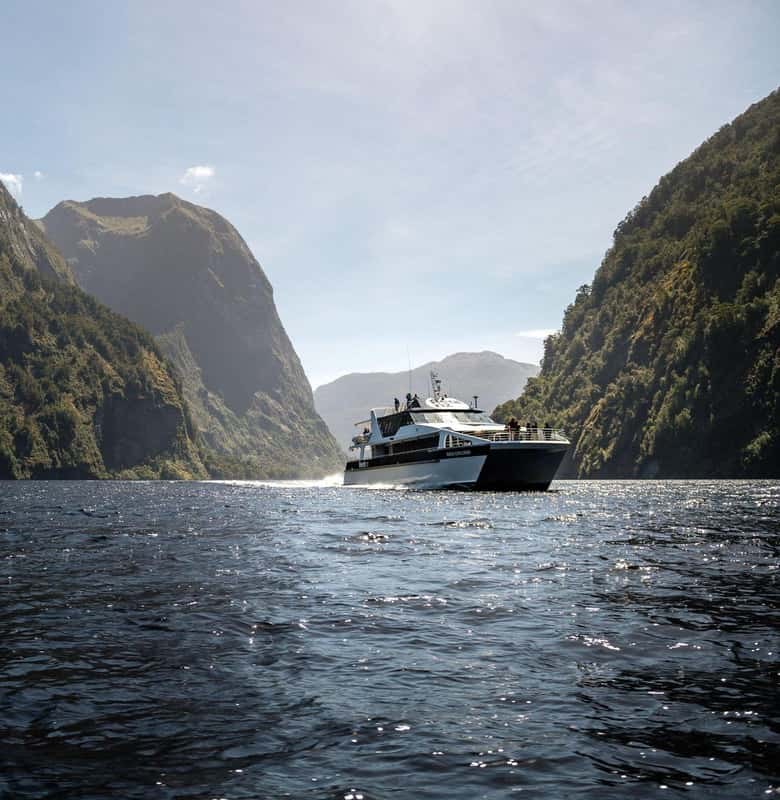
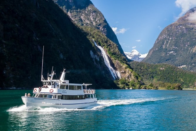
One hour 45 minutes from the Milford terminal on a boat that sails about half full, with coffee, tea and biscuits. No food is sold, so bring your own; wheelchairs and strollers can board.